June 22, 2026
1783 Regional Development Concept Wetzikon
1783 Regional Development Concept Wetzikon
Location:
Wetzikon, Switzerland
Project:
Regional Development Project, Master Plan
Client:
City of Wetzikon
Design Phase:
2010 Implementation: from 2011 onward
Landscape Architecture:
Studio Vulkan (formerly Schweingruber Zulauf)
Urban Planning:
Yellow Z
Mobility Planning:
IBV Hüsler Zürich
Photography:
Rainer Hoffmann, Studio Vulkan
Details:
Porous Boundaries
Various landscape structures surround the city of Wetzikon: the Pfäffikersee and the Riet wetlands to the north, extensions of drumlin hills to the west, forested slopes to the east, and expansive agricultural areas to the south. The urban fabric has developed in diverse forms in relation to these adjacent landscapes. The fragmented urban edge allows the landscape to penetrate deeply into the settlement, particularly in the south and west. In contrast, the northern city edge facing the Riet and Pfäffikersee is largely closed. Only the flowing Aabach and Chämtnerbach provide a spatial connection to the immediate lakeside location.
The goal of the spatial development concept in relation to open spaces is to identify local characteristics, highlight their qualities, and strengthen them for both existing and future uses. The elements defined in the analysis – such as the “fjords” and the central axis – form key components of the city and open space structure.
The interweaving of city and landscape is a defining characteristic specific to Wetzikon. The immediate spatial relationships between residential, commercial, and recreational uses and the surrounding landscape represent a key urban quality. The deep landscape extensions into the urban area – understood as “landscape fingers” or analogously as fjords – create distinctive spatial structures.
Fjords describe expansive, landscape-oriented zones within the city, where public uses are anchored and appropriation by residents is made possible. These may be open space uses – such as sports facilities along the southwestern fjord near the hospital – or building-related uses, such as the Egg schoolhouse near the Oberwetzikon center.
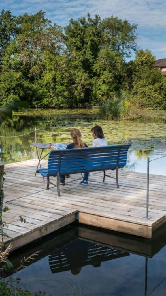
Additionally, the overlap of open space and building use can serve as a defining design element within the fjords. One example is the Schönau area, where the Aabach and pond are situated directly adjacent to the industrial heritage site of the Schönau factory.
The existing waterways in Wetzikon largely align with the location of the identified fjords. In the west (Schönau) and in the east around the Chämtnerbach, landscape spaces emerge that are strongly characterized by the presence of these enclosed watercourses.
The analysis of these diverse spaces and their respective contexts enables a targeted articulation of local specificities, the strengthening of these qualities, and the development of conceptual strategies and interventions to sustainably enhance the spatial and ecological value of the city.